Build & Style · Publish & Share · Engage Communities
Create Maps. Share Information. Engage Communities.
Open Field is a free platform for building and styling interactive maps, publishing spatial information, and gathering community feedback. No coding required.
Build & Style Maps
Turn spatial data into clear, interactive maps with a visual workflow designed for GIS users and newcomers alike.
- Import GeoJSON and CSV, or connect ArcGIS REST services
- Categories, graduated styles, proportional symbols, heatmaps and masks
- Labels, popups, images and filters
- Multiple Views from shared layers and data
Publish & Share
Transform projects into polished public maps that can be linked directly or embedded on other websites.
- Clean public URLs for maps and individual Views
- Title, legend, popup and attribution cards
- Optional address search and address-to-feature lookup
- Embed codes, on desktop and mobile
Engage Communities
Use maps not only to present information, but to invite participation and gather local knowledge.
- Geolocated comments as points, lines and areas
- Moderation, categories, voting and replies
- Export comments as CSV and GIS-ready data
- Import workshop feedback alongside online input
Maps that invite participation
Open Field is designed to help people understand places and participate in the decisions that shape them. Publish information clearly, help visitors find what applies to them, and gather feedback directly on the map — for neighborhood plans, civic information, public-realm studies, advocacy, research and community-led planning.
- Map-based comments and moderation
- Address and district lookup
- Multiple Views and scenarios
- Downloadable engagement data
- Reusable public links and embeds
Example maps
Real projects published with Open Field.
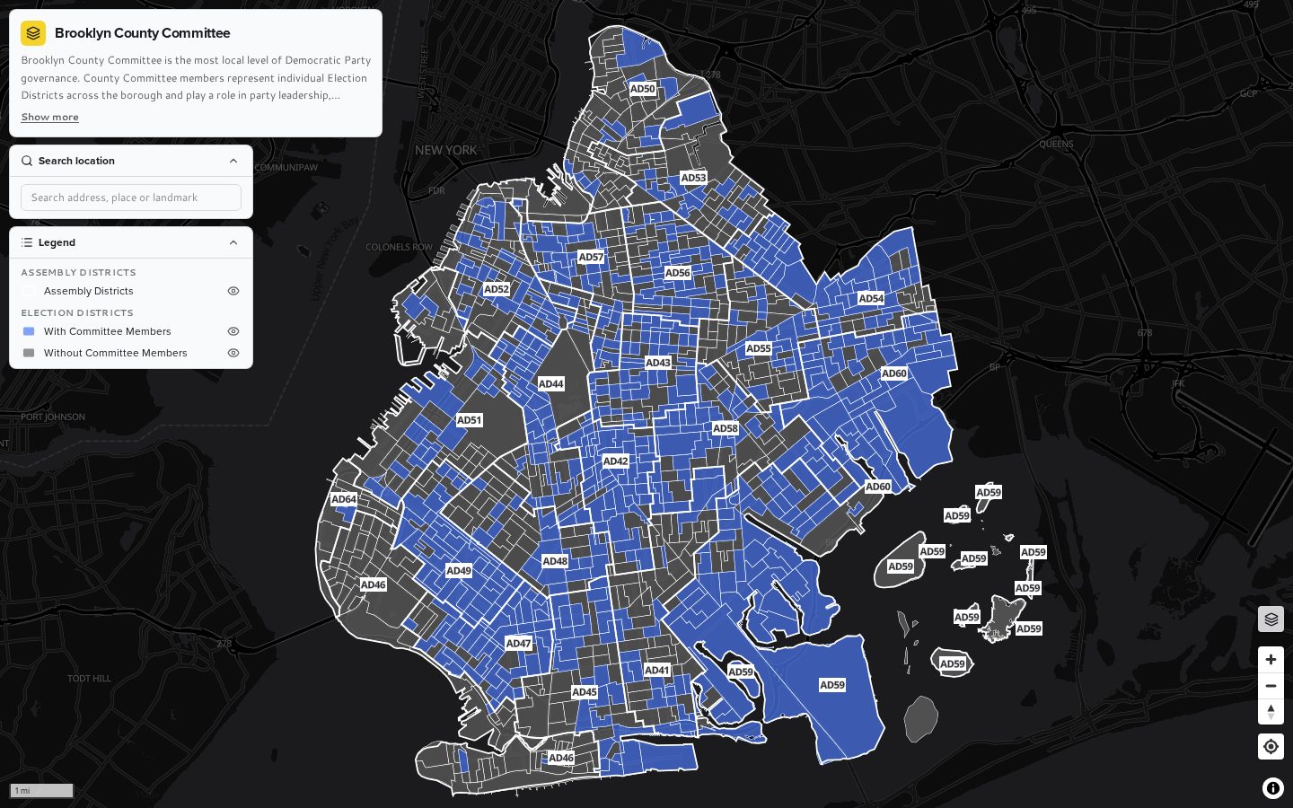
Brooklyn (Kings) County Democratic County Committee
Search an address to find your Election District and its County Committee members — and see where seats sit vacant.
Open map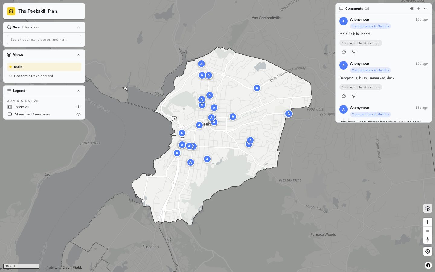
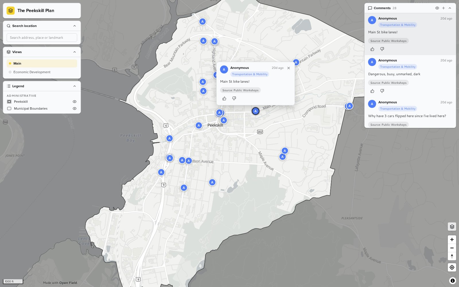
The Peekskill Plan
Residents and workshop participants share categorized, geolocated feedback on streets, places and mobility.
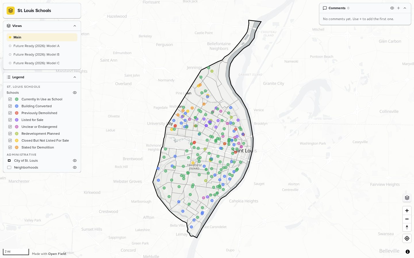
Open mapSt. Louis Schools
Multiple Views compare existing school facilities with future planning models.
Open map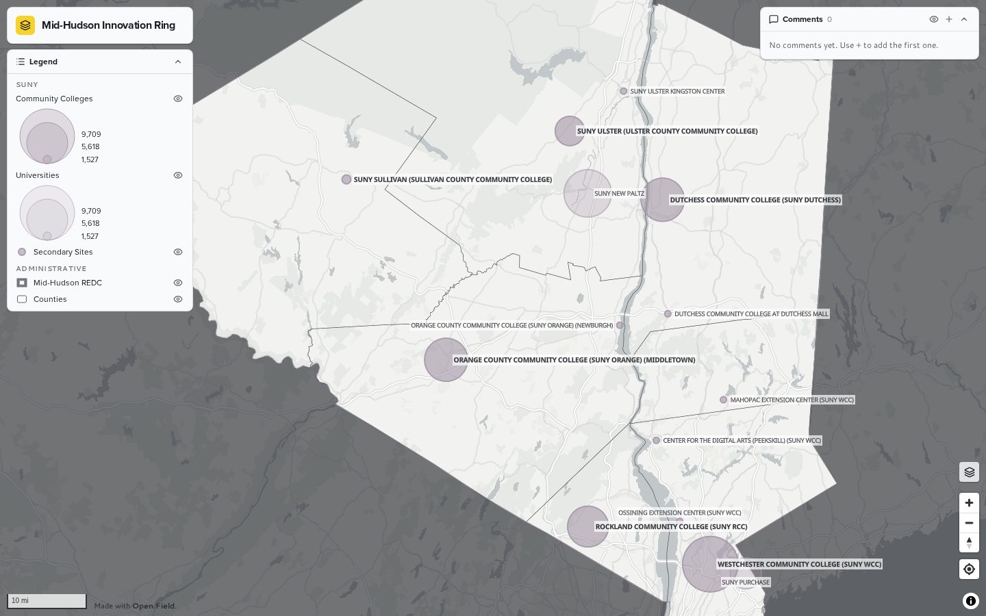
Mid-Hudson Innovation Ring
A regional look at community colleges, institutions and economic corridors across the Mid-Hudson Valley.
Open mapWhy Open Field?
Make mapping, transparency, and participation more accessible.
Many mapping and engagement tools are expensive, difficult to access, or built primarily for technical specialists. Open Field was created as a free and approachable alternative.
Spatial information should be easier to understand, and the tools used to gather public input should be available to more people. Better access to information can support better conversations, stronger participation, and more transparent decisions.
About Open Field
Open Field is free to use and available to anyone. It is an independent project created by Justin Paul Ware and Spatial Politics to support more accessible mapping, stronger public engagement, and more transparent approaches to planning and civic decision-making.
Make your map public.
Build an interactive map, share spatial information, and create new ways for communities to participate. Open Field is free to use.